Winter fun. Near you.
Grab any bike and go. Winter is a spectacular time to explore the city by bike. Try it!
Don’t forget to join WinterBikeALoopza on Friday February 12th.
Check out the SchoolLoops project for ideas of loops to explore within your neighbourhood.
__
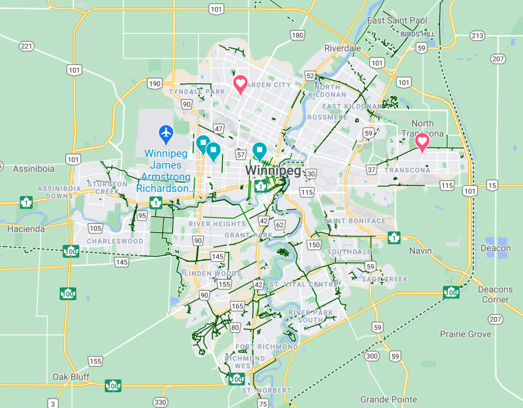
**COMING SOON** As soon as we get access to the data, we are reserving this space for a map that highlighting the current snow clearing priorities of pathways and streets. That will help for route planning purposes. You can see a static version of the data on this page from the City of Winnipeg. Of course, we have a long way to go before our pathways clearing matches what we do for cars. We’re changing that. As we innovate and demand for better conditions for accessible trails year round, we will start to see a bike boom that keeps going and a network of always-ready paths so anyone can make the most of winter…by bike.

Example of a real time WINTER bike map
PSST. For a glimpse into the future, check out real time bicycle snowclearing map showing the most recent maintenance and machines in real-time. OOhh AHhh. That’s what we’re talkin’ about. 😎